Yellow River Wetland Mitigation Bank project
Mitigation Bank

Yellow River Wetland Mitigation Bank

Contact Us

Wetland Restoration

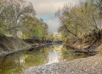
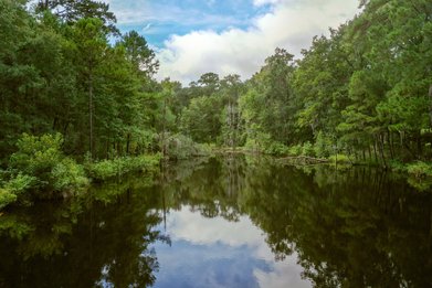
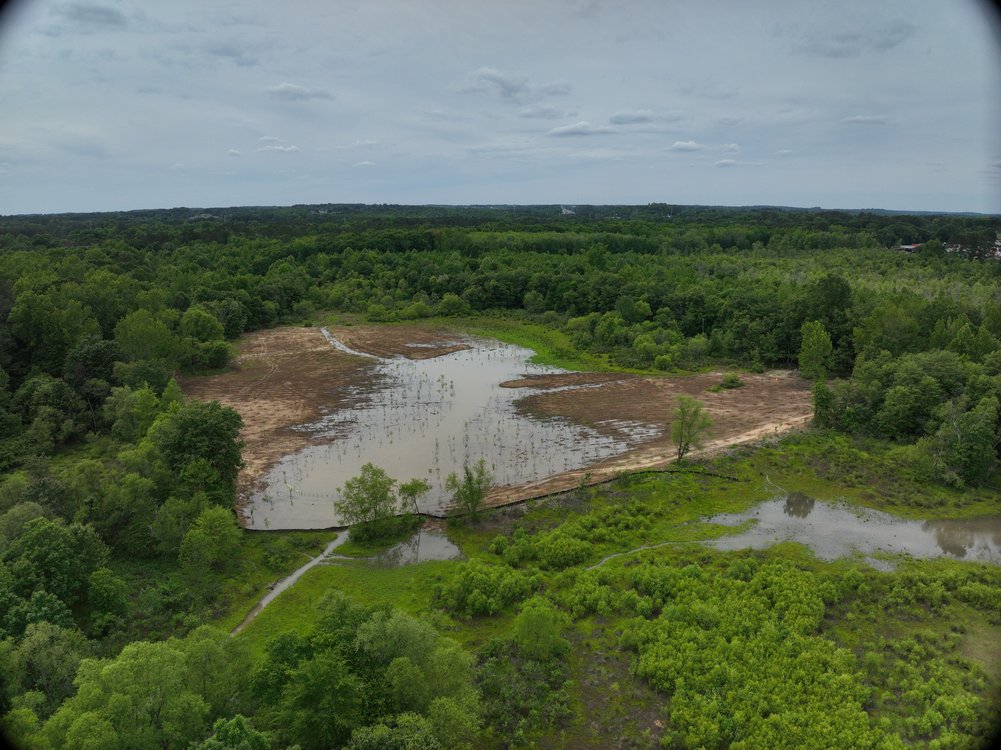
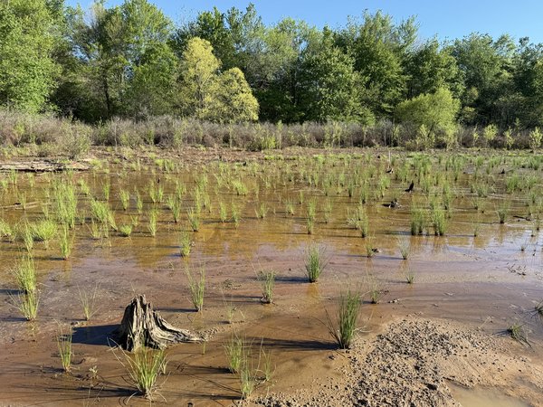
The Yellow River Wetland Mitigation Bank is a 133-acre restoration project in Newton County, Georgia, within the Upper Ocmulgee River Watershed. The bank includes 9 acres of wetland restoration, 73 acres of wetland enhancement, and nearly 20 acres of wetland preservation, and holds one of the largest remaining floodplain wetland complexes in the Yellow River watershed.

Before Restoration

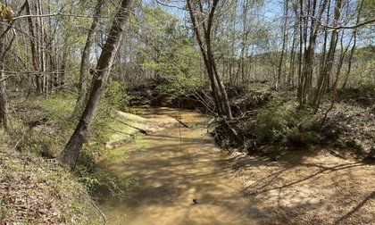
For decades, the site was managed for timber production. Harvesting activities and the construction of forest roads degraded native vegetation and fragmented the floodplain wetland system, reducing the site’s capacity to support native plant and wildlife communities.

Restoration Approach

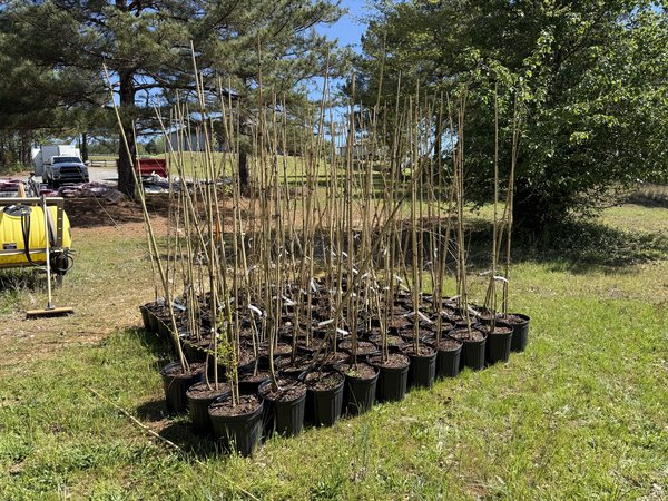
Restoration centers on reconnecting the floodplain by removing and breaching elevated forest roads that currently block water movement. Restoring the natural topography supports a self-regulating water cycle that improves flood buffering, water quality, and biodiversity. Native woody species will be planted throughout the site to rebuild the canopy and push back invasive species.

Location:

Newton County, Georgia

Credit Types:

  • Wetland - Riverine/Lacustrine Fringe
  • Wetland - Slope

Acres:

133

Approving Agencies:

U.S. Army Corps of Engineers, U.S. Environmental Protection Agency, U.S. Fish and Wildlife Service, Georgia Department of Natural Resources

Service Area and Credits

Service Area

The primary service area for the Bank is comprised of Hydrologic Unit Code (HUC): 03070103 (Upper Ocmulgee), and the secondary service area is comprised of HUC 3070101 (Upper Oconee).

Credits

WES wants to answer all your questions related to compensatory mitigation. Whether you have issues related to service areas, credit types, ratios, or agency approvals, we are here to help.

Please contact our sales team.


Inquire About Credits