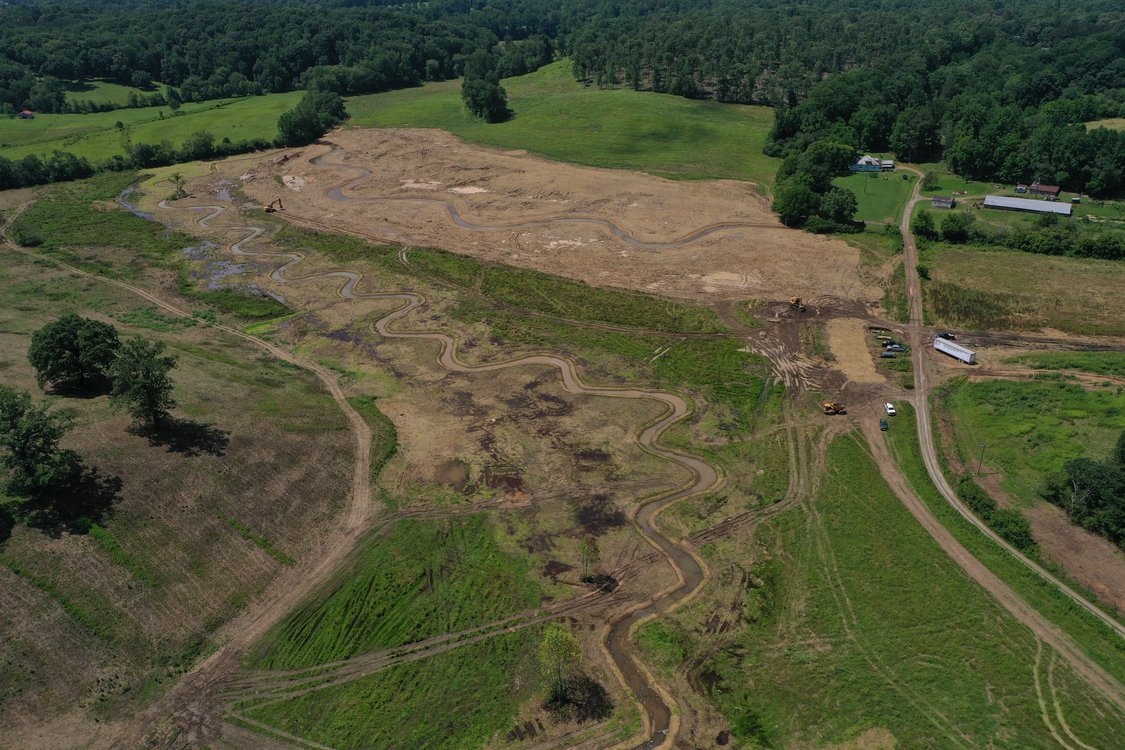
Beaverdam Creek Mitigation Bank project
Mitigation Bank

Beaverdam Creek Mitigation Bank

Contact Us

Wetland and Stream Mitigation

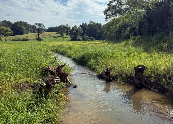
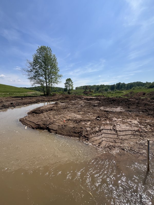
The Beaverdam Creek Mitigation Bank is a 64.5-acre stream and wetland restoration project located in Habersham County, Georgia. The project restores 17 acres of wetland habitat and 6,898 linear feet of stream across the site.

Before Restoration

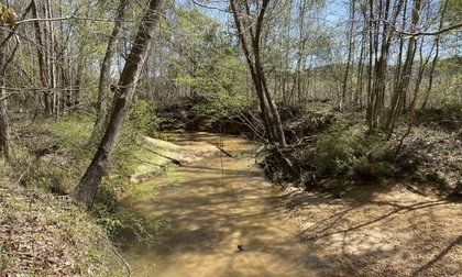
The site was used for agricultural production. The existing streams had been channelized and straightened, severing the natural connection between the stream channels and their floodplains. This degradation reduced water quality, limited sediment and nutrient processing, and diminished the site’s capacity to support aquatic and terrestrial species.

Restoration Approach

Restoration work focuses on reestablishing floodplain connectivity by returning stream channels to a more natural path. Efforts also target improvements to water quality and the recovery of wetland and species habitat across the site. Together, these actions support broader regional conservation goals and provide compensatory mitigation credits for qualifying projects within the service area.

Location:

Habersham County, Georgia

Credit Types:

  • Wetland- Riverine/Lacustrine Fringe and Slope
  • Perennial Stream - Greater than 3 square mile watershed
  • Perennial Stream - Less than 3 square mile watershed

Acres:

64.49

Approving Agencies:

U.S. Army Corps of Engineers, U.S. Environmental Protection Agency, U.S. Fish and Wildlife Service, Georgia Department of Natural Resources

Service Area and Credits

Service Area

The primary service area for the bank includes Hydrologic Unit Code 03130001 (Upper Chattahoochee), and the secondary service area includes HUC 3130002 (Middle Chattahoochee).

Credits

WES wants to answer all your questions related to compensatory mitigation. Whether you have issues related to service areas, credit types, ratios, or agency approvals, we are here to help.

Please contact our sales team.


Inquire About Credits