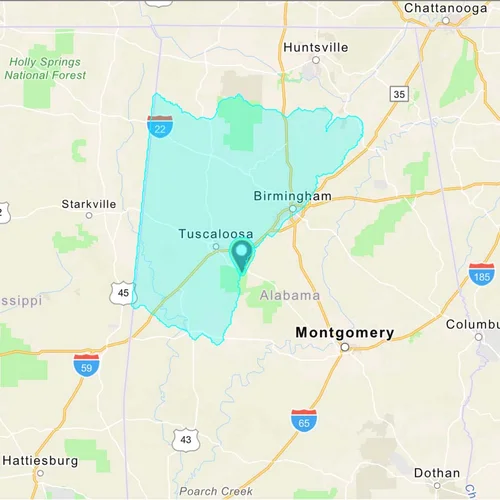
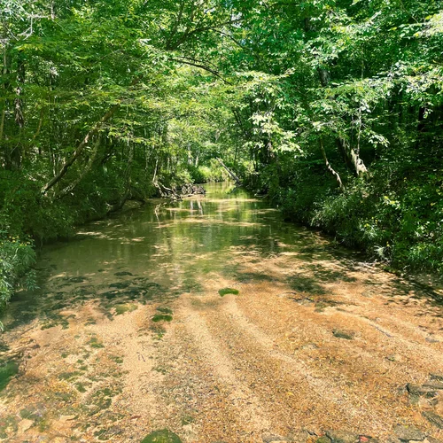
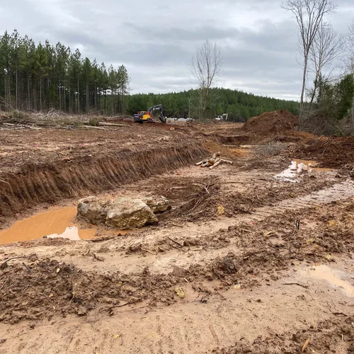
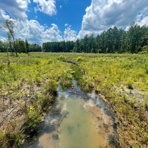
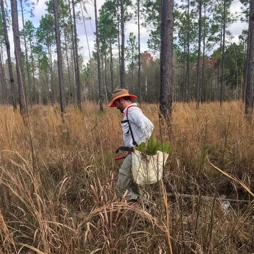
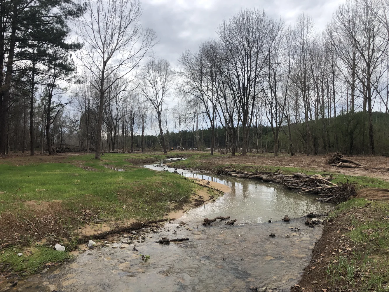
Westervelt Ecological Services
creek

Westervelt Mitigation Bank

Westervelt Mitigation Bank

Bibb and Tuscaloosa Counties, Alabama

Stream Mitigation

The 287-acre bank provides compensatory mitigation for unavoidable stream impacts within the Lower Black Warrior watershed. It is located in the Fall Line Hills ecoregion, which lies within the Karst area characterized by sinkholes, underground streams, and caves.

The bank will protect the headwaters of Big Sandy Creek and is located just upstream of Big Sandy Spring, a local swimming hole. Historically, the land had been used for forestry and mining. As such, past land use practices had functionally removed much of the stream connectivity with the adjacent floodplain. Channel degradation continues to negatively influence stream functions and stability.

Westervelt_stream

Restoration

The goal of the project is to improve the physical, chemical, and biological functions of the overall system. This will be achieved through natural channel design and restoration, planting native hardwood tree species and controlling non-native invasive species to produce a diverse and functioning riparian zone and floodplain, and providing permanent protection and management. The benefits of this project include stabilizing and revegetating stream banks, restoring floodplain connectivity and hydrology, and reestablishing forested riparian areas. These measures will result in reduced downstream sediment and nutrient loads, as well as improving aquatic and terrestrial habitats.

staff_at_westervelt

Service Area

WES wants to answer all your questions related to compensatory mitigation. Whether you have issues related to service areas, credit types, ratios, or agency approvals- we are here to help.

The service area for the Westervelt Mitigation Bank includes all or portions of Bibb, Greene, Hale, Marengo, Perry, Pickens, Sumter, and Tuscaloosa Counties

Westervelt_Service Area