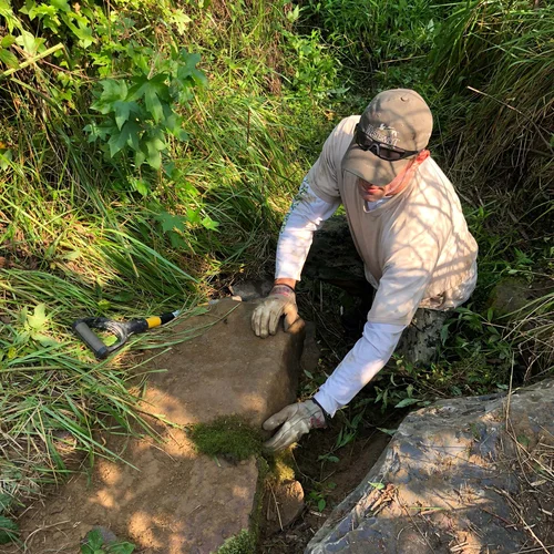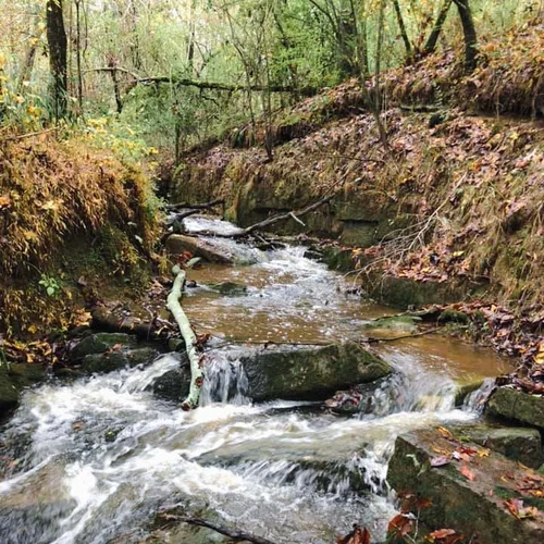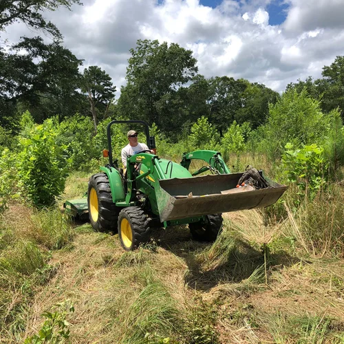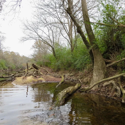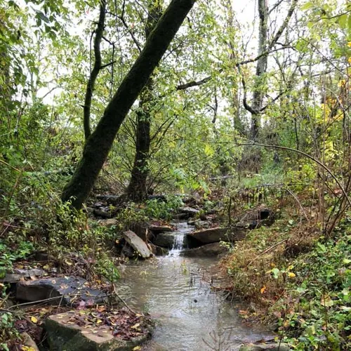
Stream Mitigation
Locust Fork Mitigation Bank is immediately adjacent to the Locust Fork River, known for its richness of aquatic invertebrates including several endangered mussel, fish, and snail species. The Locust Fork drainage area is targeted as a conservation action area in Alabama’s Conservation Wildlife Action Strategy and is a priority conservation area for both the Freshwater Land Trust, who holds the conservation easement on the property, and others in the conservation community.
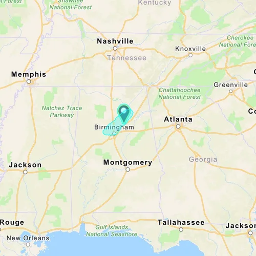
The 111.4-acre bank is approved by the U.S. Army Corps of Engineers to offset unavoidable impacts to jurisdictional wetlands and streams regulated under Section 404 of the federal Clean Water Act in portions of Etowah, Blount and Jefferson Counties within the Locust Fork Watershed of the Black Warrior-Tombigbee Basin.
The Locust Fork Mitigation Bank primary service area consists of the Locust Fork watershed including portions of Blount, Etowah, and Jefferson Counties. Additionally, credits from the bank may be used to offset impacts in watersheds throughout the state with the application of a proximity calculation as determined by the Mobile District of the U.S. Army Corps of Engineers.