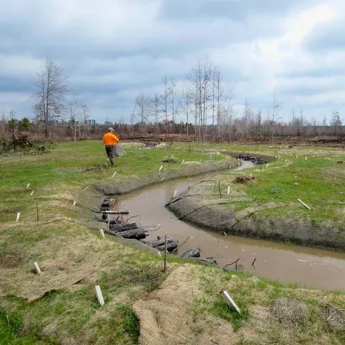
Stream and Wetland Mitigation
Alabama River Mitigation Bank provides a compensatory mitigation alternative for stream and wetland impacts in a region currently under-served with mitigation options. Located in Wilcox and Monroe Counties, the vast majority of the bank’s service area includes the Lower and Middle Alabama River watersheds. The bank also provides mitigation for impacts in secondary service areas within the Mobile District of the U.S. Army Corps of Engineers with the application of a proximity factor. The 971.1-acre site has a unique landscape position within the area that compels protection.
The Bank is part of the Alluvial/Deltaic Plain physiographic region, with ecology and geomorphology historically influenced by the Alabama River, which is approximately 2.2 miles southwest of the proposed bank site.


