Stream Mitigation
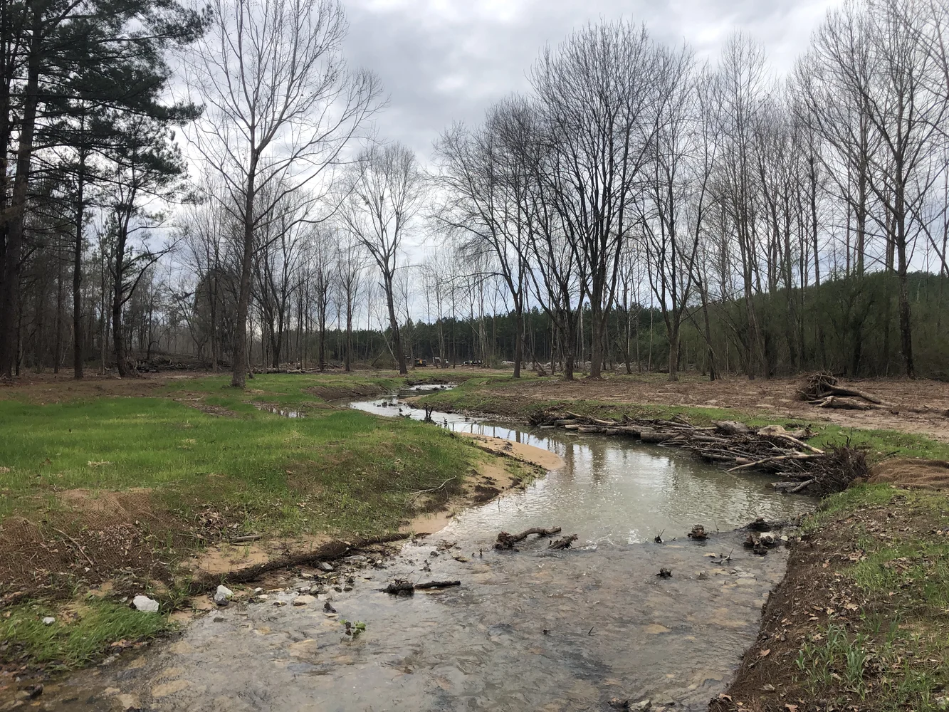
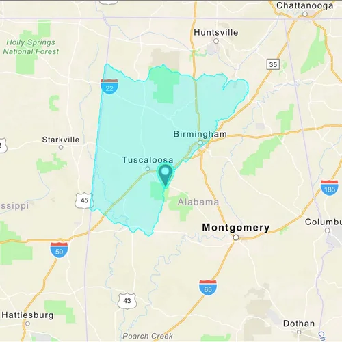
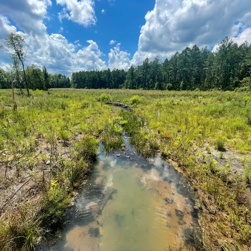
The 287-acre bank provides compensatory mitigation for unavoidable stream impacts within the Lower Black Warrior watershed. It is located in the Fall Line Hills ecoregion, which lies within the Karst area characterized by sinkholes, underground streams, and caves.
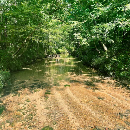
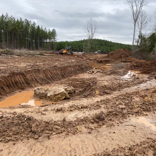
The bank will protect the headwaters of Big Sandy Creek and is located just upstream of Big Sandy Spring, a local swimming hole. Historically, the land had been used for forestry and mining. As such, past land use practices had functionally removed much of the stream connectivity with the adjacent floodplain. Channel degradation continues to negatively influence stream functions and stability.

