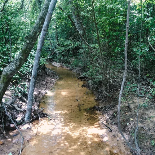
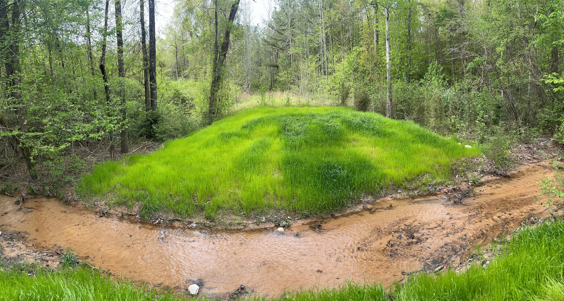
General Information
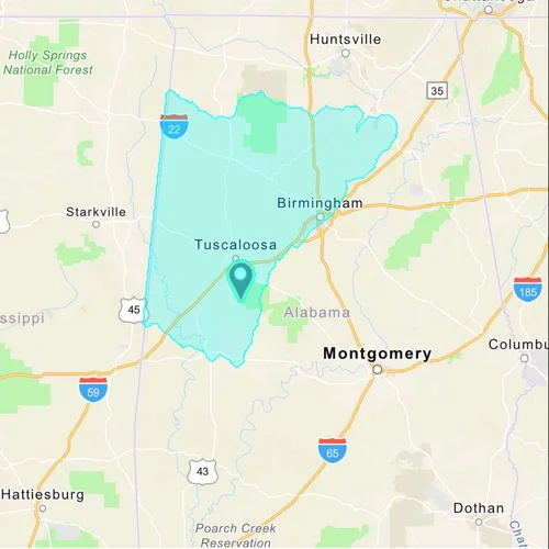
The 73-acre Big Sandy Mitigation Bank, Phase 2, is located directly adjacent to the existing 1,060-acre Big Sandy Mitigation Bank. Combined the two banks protect a stretch of over four miles on both sides of Big Sandy Creek and South Sandy Creek, re-establishing the full ecological potential of this ecosystem through 11.8 miles of riparian buffer restoration/enhancement. The easement for the Bank is held by the Freshwater Landtrust. Big Sandy Mitigation Bank, Phase 2, is located in southern Tuscaloosa County, Alabama, within the Black Warrior-Tombigbee basin and Lower Black Warrior watershed. The bank offers stream credits.
Service Area Map
Service area:
Bibb, Blount, Cullman, Fayette, Franklin, Greene, Hale, Jefferson, Lamar, Lawrence, Marengo, Marion, Marshall, Perry, Pickens, Sumter, Tuscaloosa, Walker, and Winston Counties.
Enlarge Map