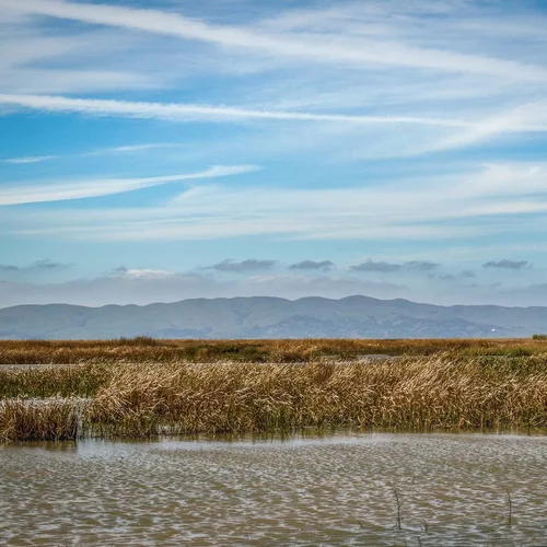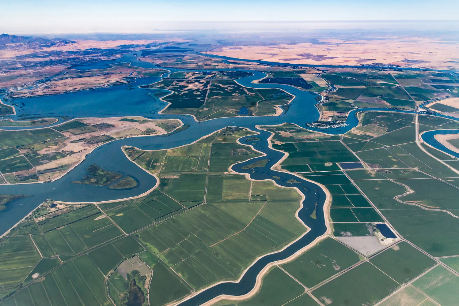
GIS Model
In 2009, WES developed a 408,578-acre GIS-based land suitability analysis model to identify lands with the highest potential for restoration and mitigation within the Sacramento-San Joaquin Delta. WES created the GIS model used by Department of Water Resources and the California Department of Fish and Wildlife to evaluate future mitigation proposals for their suitability. To develop the model, WES created many data layers (criteria) that were compiled, processed, and evaluated for their applicability to restoration. WES evaluated tidally-influenced freshwater marsh, shaded riverine aquatic habitat, and riparian forest/scrubshrub habitats. Criteria such as existing vegetation, elevation, soils, proximity to existing habitat, adjacent land uses, zoning, proximity to existing tidal channels were processed and combined to produce maps for each habitat type that identify high-priority areas for restoration. In addition, the model emphasizes natural processes and long-term sustainability to accommodate environmental changes such as sealevel rise and climate change.